Green Mountain Trail Review, Blue Ridge, Georgia

The Green Mountain trail comprises over half of Aska's mild side. It is about 4 miles long one-way and can either be ridden as an out-and-back, a lariat, or a loop utilizing gravel and paved roads.
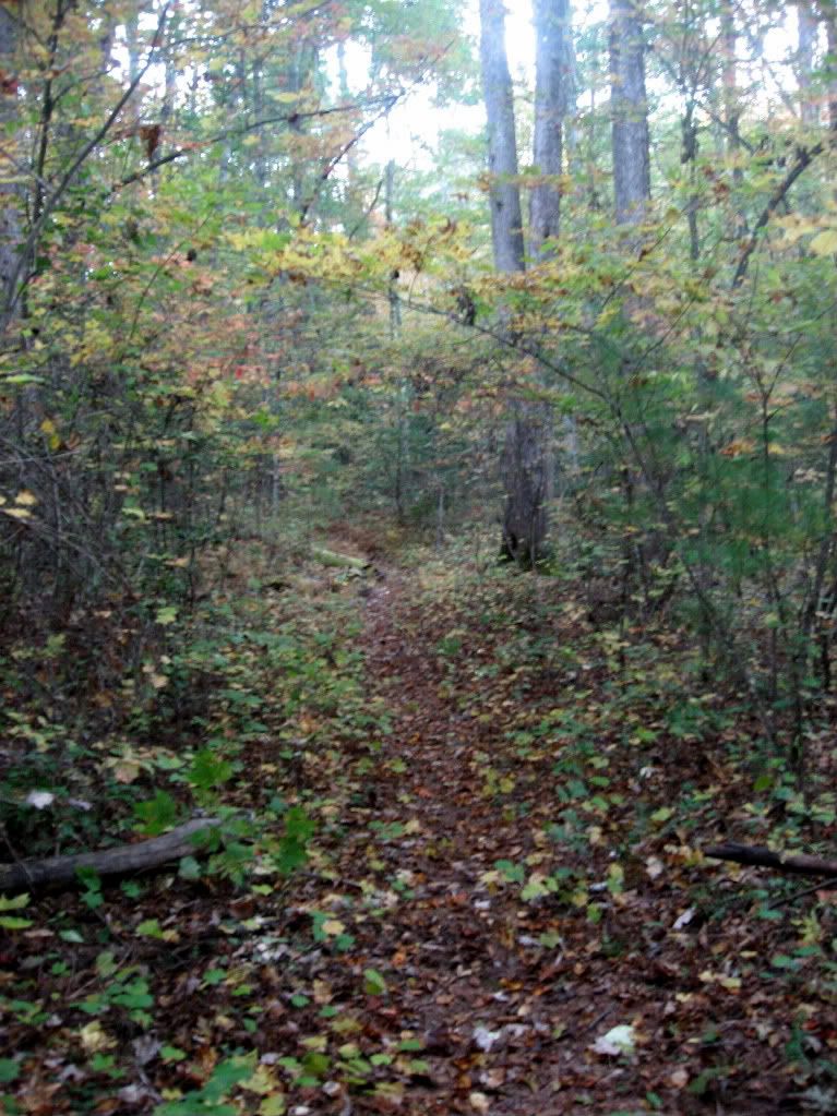
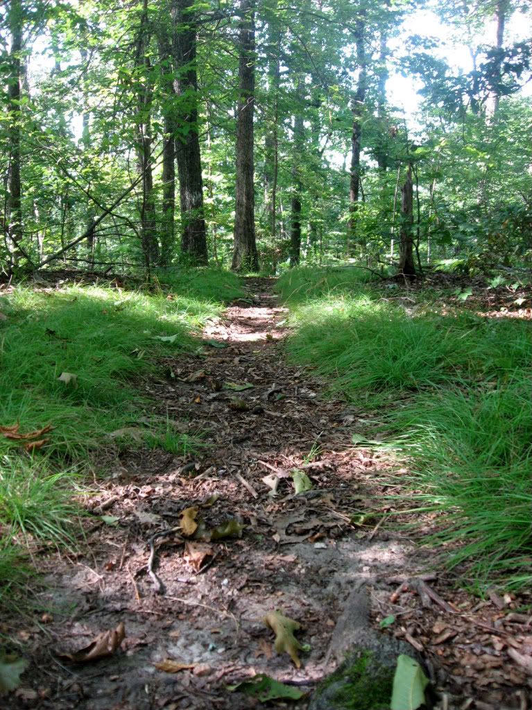
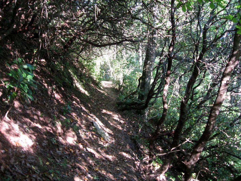
 |
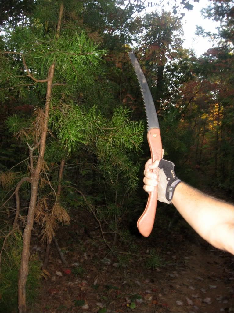
| Smooth benchcut singletrack. |
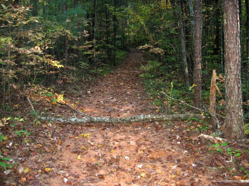
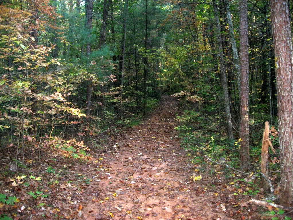
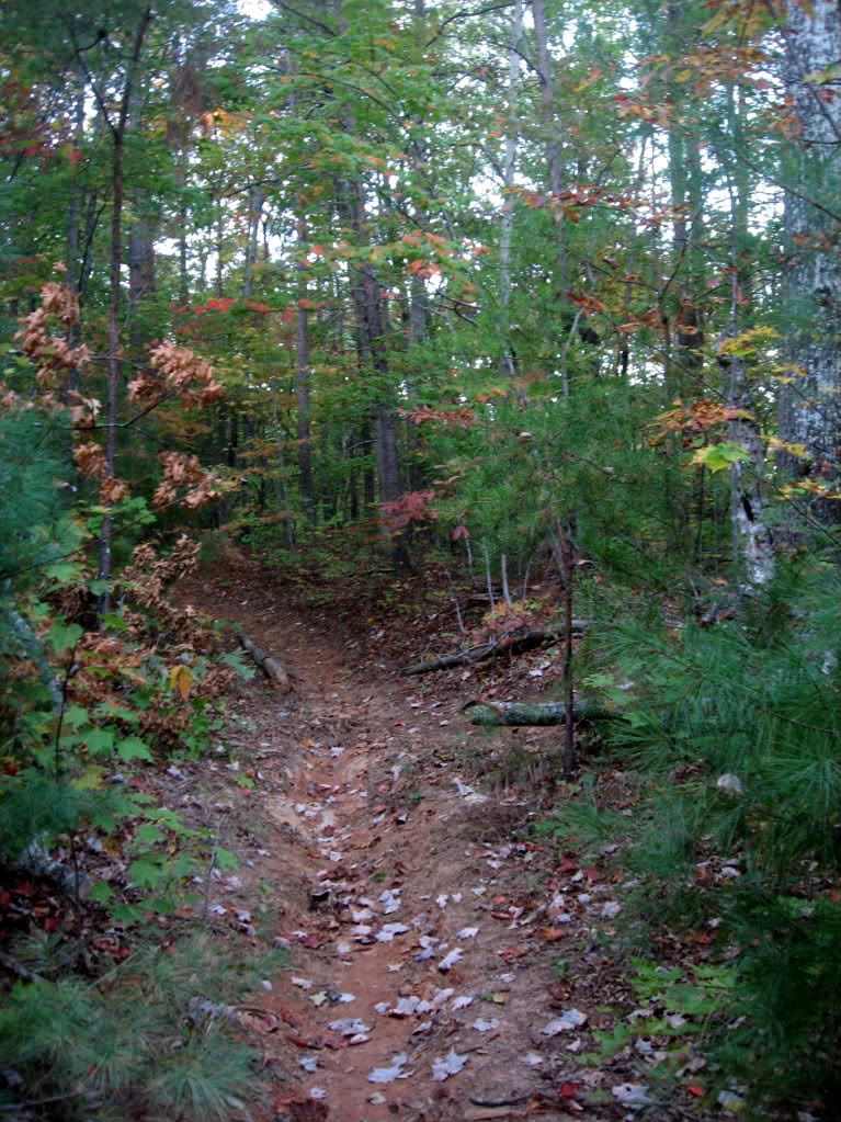
Not that this trail needs constantly changing scenery to be engaging: the narrow one-track, the fast downhills, and the swooping bermed-out turns are sure to keep your heart pounding and your adrenaline rushing! The construction of all the Aska Trails and especially the Green Mountain trail is top-notch sustainable benchcut that is truly a joy to ride!
Bottom Line: This is an excellent, narrow singletrack trail that will paste a smile on your face and give your legs a work out, but won't really challenge your bike handling skills at all.

The Route
As I mentioned above, there are 3 main ways to set this trail up, with even more intricate possibilities if you add in other trails such as the Long Branch Loop.
Out-and-Back
The most accessible parking lot is the Deep Gap parking lot on Aska road, which is where the directions below will take you. To access the Green Mountain trail, head back out to the highway, and pick it up on the other side. There are two options to take you up to the top of Green Mountain: the trail beginning slightly up the hill from the parking lot is more difficult, and the trail starting just down the hill from the parking lot is a little easier.
Once at the top of Green Mountain, it's mostly downhill! You'll pass a spur which drops down and connects to the Long Branch Loop. Feel free to add that in if you'd like. Continue down the trail.
When you reach the area with the vacation homes, make sure that you follow the trail across the driveway(s) and in-between the houses. It continues for another mile or two.
When you reach the Lower Green Mountain Trailhead, either turn around and ride back up the hill to where you started, OR
Loop It.
Initially I was going to ride this as an out-and-back, but by the time I reached the lower trailhead I really didn't feel like regaining all of that elevation on singletrack, and I was curious to see what the loop was like. To loop this trail, continue straight/right on the gravel forest service road (FS 711). When you reach the T, turn left. In less than a quarter mile turn right onto Campbell Camp Road. When you junction with the main Aska road, turn left and be prepared to climb and climb two miles back to where you started.
Lariat
In retrospect, it seems that to get the most singletrack enjoyment out of the trail you might want to ride it as a lariat, beginning at the lower trailhead. To access the lower trailhead, reverse the directions above. Then, climb up the Green Mountain trail. When you reach the top of Green Mountain, take the right fork down to the highway, as it is steeper. Hang a left on Aska Road, ride a short ways, and pick up the other trail on your left. Climb back up to the top of the mountain, and descend back down to your original starting point.
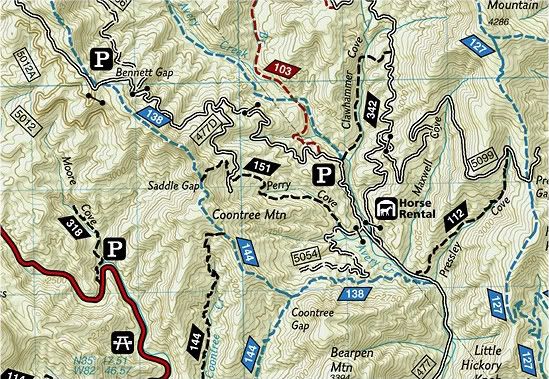
Navigational Resources
The National Geographic Trails Illustrated map #777 is awesome, and great for figuring out what all the junctions are and where all the roads go on this ride. Jim Parham's Off the Beaten Track contains the loop described above, and is an excellent, easy-to-use resource!As I mentioned above, there are 3 main ways to set this trail up, with even more intricate possibilities if you add in other trails such as the Long Branch Loop.
Out-and-Back
The most accessible parking lot is the Deep Gap parking lot on Aska road, which is where the directions below will take you. To access the Green Mountain trail, head back out to the highway, and pick it up on the other side. There are two options to take you up to the top of Green Mountain: the trail beginning slightly up the hill from the parking lot is more difficult, and the trail starting just down the hill from the parking lot is a little easier.
Once at the top of Green Mountain, it's mostly downhill! You'll pass a spur which drops down and connects to the Long Branch Loop. Feel free to add that in if you'd like. Continue down the trail.
When you reach the area with the vacation homes, make sure that you follow the trail across the driveway(s) and in-between the houses. It continues for another mile or two.
When you reach the Lower Green Mountain Trailhead, either turn around and ride back up the hill to where you started, OR
Loop It.
Initially I was going to ride this as an out-and-back, but by the time I reached the lower trailhead I really didn't feel like regaining all of that elevation on singletrack, and I was curious to see what the loop was like. To loop this trail, continue straight/right on the gravel forest service road (FS 711). When you reach the T, turn left. In less than a quarter mile turn right onto Campbell Camp Road. When you junction with the main Aska road, turn left and be prepared to climb and climb two miles back to where you started.
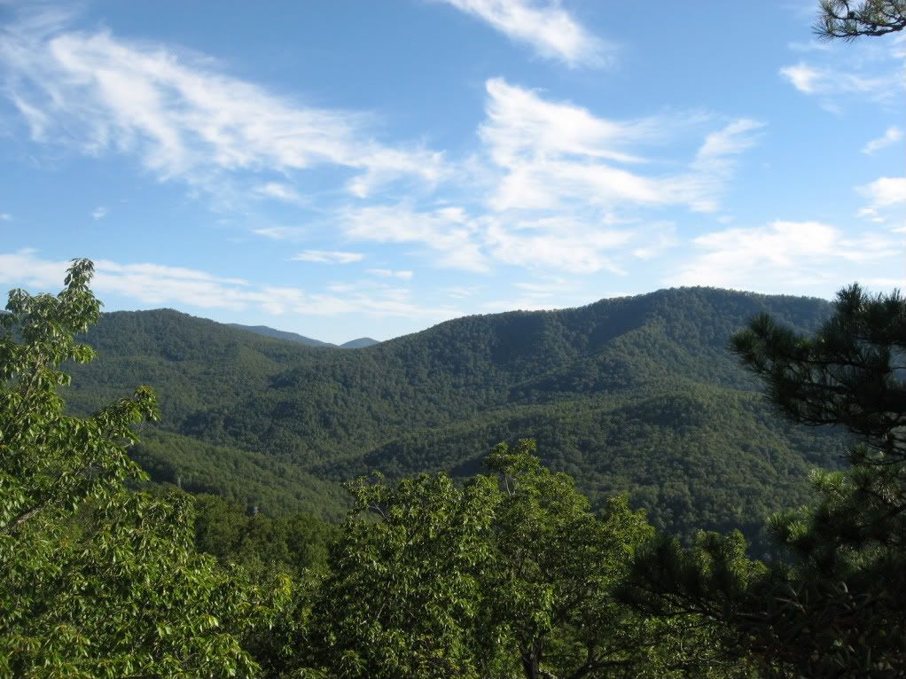
 |
| Lake Blue Ridge, October 2010. |
Lariat
In retrospect, it seems that to get the most singletrack enjoyment out of the trail you might want to ride it as a lariat, beginning at the lower trailhead. To access the lower trailhead, reverse the directions above. Then, climb up the Green Mountain trail. When you reach the top of Green Mountain, take the right fork down to the highway, as it is steeper. Hang a left on Aska Road, ride a short ways, and pick up the other trail on your left. Climb back up to the top of the mountain, and descend back down to your original starting point.
Navigational Resources
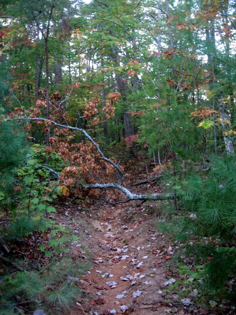
 |
| Green Mountain Trail Sign. In general, the trail signage across the entire Aska system is top-notch, and makes it almost possible to navigate without a map, especially if you've been there before. |
From Jim Parham's Off the Beaten Track:
From GA 515 in Blue Ridge, take Windy Ridge Road 0.1 mile south, turn left on East 1st Street, go 0.1 mile and turn right on Aska Road. It's 3.5 miles to the Deep Gap Trailhead.Look for signs for "Aska Trails." Turn right into the parking lot.
Other trails in the area include:
Your Turn:
Do you have more information that needs to be included, or do you have information on new developments since I originally posted this review? If so, please leave a comment and help keep this post up-to-date and as useful as possible.
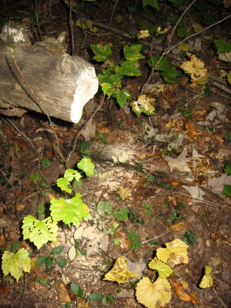
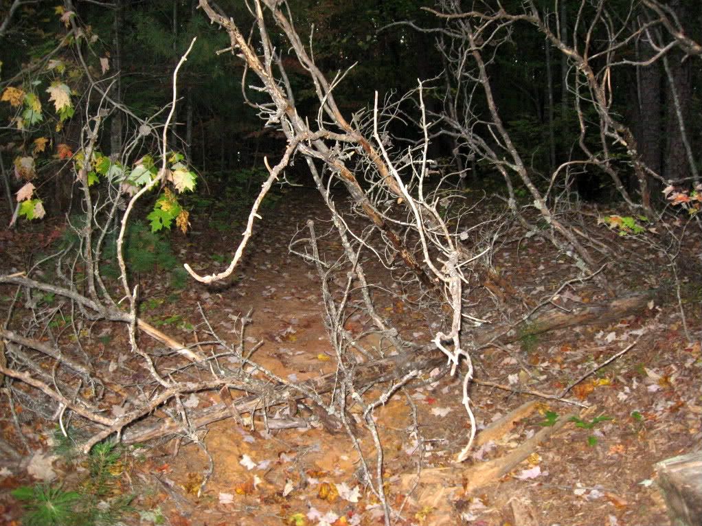
 |
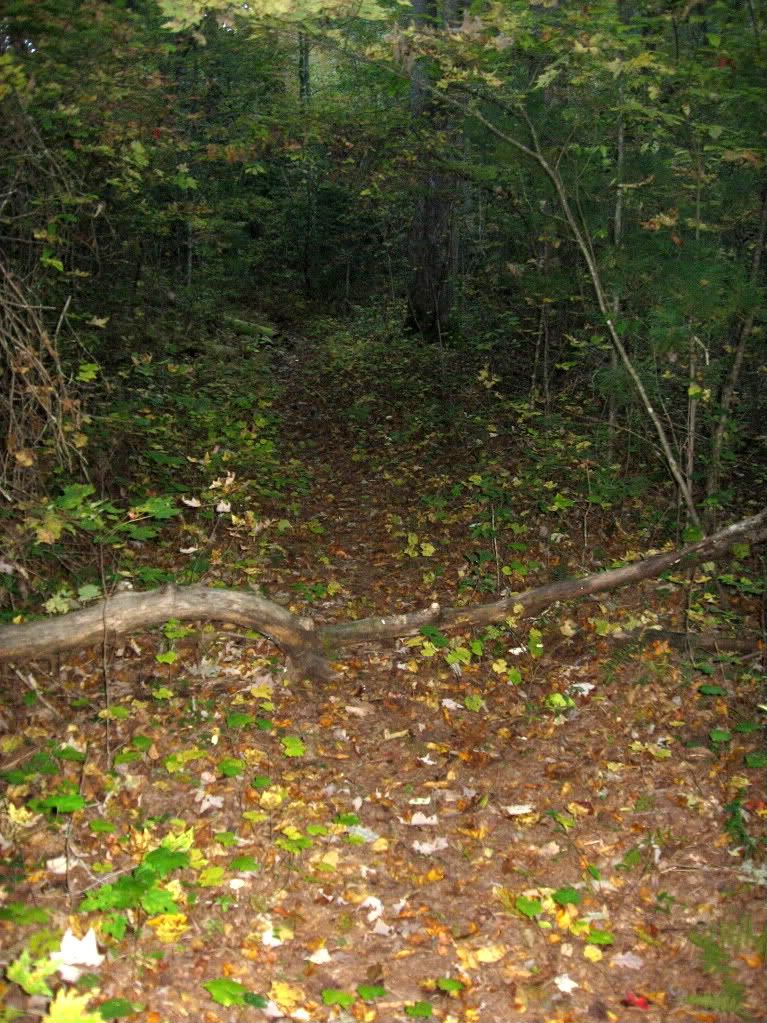
| Closing photo of the Green Mountain Trail. |
Read more...


