Stanley Gap, Blue Ridge, Georgia

From Jim Parham's Off the Beaten Track:
From GA 515 in Blue Ridge, take Windy Ridge Road 0.1 mile south, turn left on East 1st Street, go 0.1 mile and turn right on Aska Road. It's 3.5 miles to the Deep Gap Trailhead.Look for signs for "Aska Trails." Turn right into the parking lot.
Navigational Information:
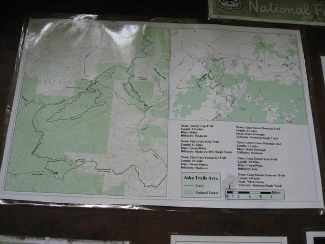 |
| Map at the trailhead. |
The Route
There are two options. You can either ride a brutal out-and-back for 4.9 miles of singletrack each way (total of 9.8mi), or you can loop it with mostly paved roads to get the most one-way downhill out of the singletrack and an overall easier ride for a total of 12.5 miles.
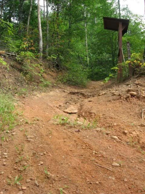 |
| Start of the singletrack from the top. |
Eventually, you will hit a junction with a connector to the Flat Creek Loop. I recommend combining the Flat Creek Loop into this ride, ridden counterclockwise. It's another rocking descent down to the bottom, and a descent climb back up. With pavement, Stanley Gap, and Flat Creek the total mileage is about 17.6+.
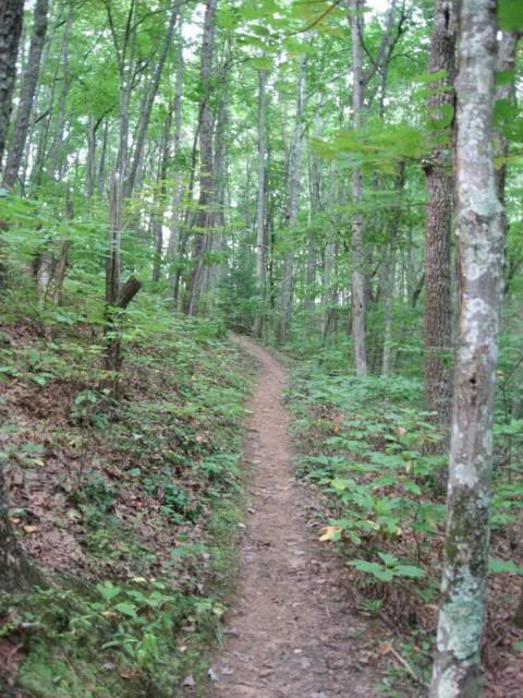 |
| Smooth section. |
Yeah, that's definitely a blow-by-blow set of directions. But that's not really what you're interested in, are you? You want to know: "How is the singletrack already?!"
The singletrack is awesome! It is beautiful, bench cut singletrack high in the mountains of North Georgia. The trail construction is absolutely superb! The trail was very "single" singletrack, nice and narrow... not the wide doubletracky crap that is evident at a lot of places such as Bull Mountain. No, the flow of these trails is incredible!
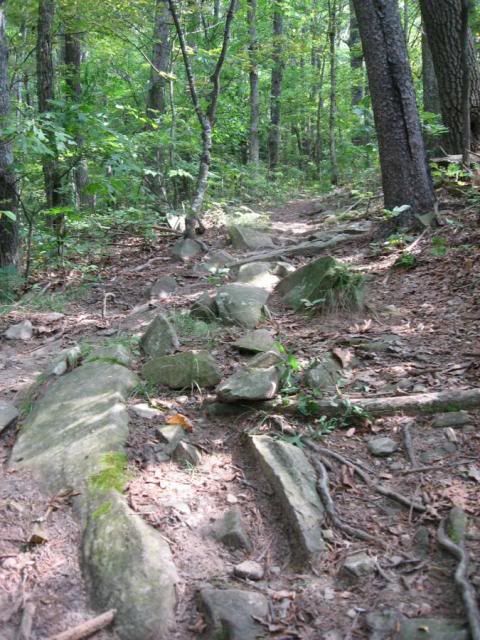
Simply put: the ride back down off the top of Stanley Gap is phenomenal. Fast and rocky, pretty steep by not too steep as to require a lot of braking. As I mentioned earlier, the trail construction is nice and narrow, and you will almost develop a sort of tunnel vision from the trees blurring right past the ends of your handlebars. It is an incredible adrenaline rush to be pounding downhill that fast over that many rocks trying to thread your way through trees that are that close to the trail! I clipped several on my way down, one almost ripped me off my bike!
Bottom Line: Looking for some brutal climbing, on some of the best constructed single track in North Georgia with a vision-blurring, rock-laden descent? Head to Blue Ridge, and ride Stanley Gap. While you're at it, throw in some of the other Aska trails too.
Other trails in the area include:
Your Turn:
Do you have more information that needs to be included, or do you have information on new developments since I originally posted this review? If so, please leave a comment and help keep this post up-to-date and as useful as possible.
More Posts About this Trail:
http://www.gregridestrails.com/2010/07/mountain-bike-tourism-how-to-get.html
http://www.gregridestrails.com/2010/07/ellijay-mountain-bike-destination-win.html

3 comments:
diggin your blog
Hey thanks for the kind comment man! Hope to continue to see ya around the blog.
I need to go over and check this trail system out. I rode over there when they had one epic trail and thats it. I need to switch from riding this weekend warrior trails and start riding the more remote trails again. the problems is I don't ride a full suspension. When I got back into mtn biking again about a year ago. I was more geared toward racing. so I got a 2010 trek 8500 which is setup for racing groomed trails not an all mountain type of bike. Hey it will just make me tougher and I'll learn to handle my hardtail in the rough shit once again like back when I was in HS and college again!!! LOL
Laxson OUT
Post a Comment