Reno/Flag/Bear/Deadman, Crested Butte, Colorado
Getting There
From Crested Butte, head south on HWY 135. After about 7 miles, take a left on Cement Creek road (FS 470). The trailhead will be about 7 miles up that road, on the right.
Trailhead in Google Maps
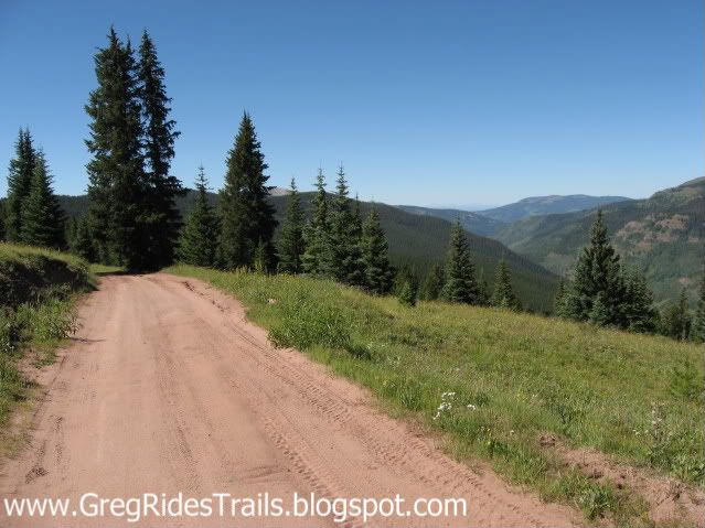
This is a 20 mile loop, consisting of about 6 miles of USFS road and 14 miles of singletrack. It's been about a year and a half since I've ridden it, so please see these sources for more information:
Pick up Mountain Bike Crested Butte Gunnison & Salida Singletrack by Holly Annala, and the Trails Illustrated Map #131 Crested Butte and Pearl Pass. Also, see the Singletracks.com listing.
About the Trail
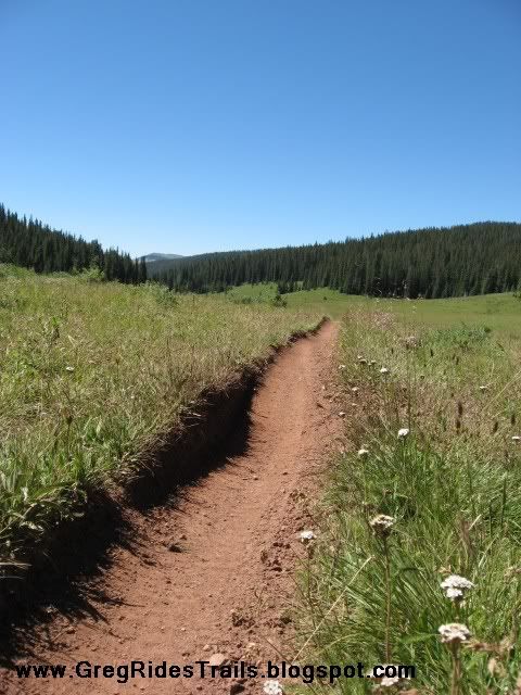
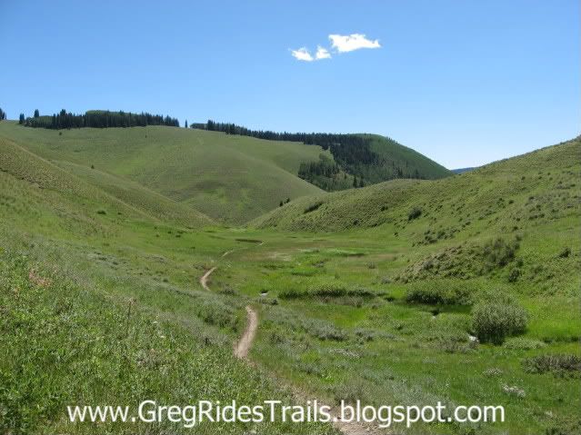
This is easily one of the best trails anywhere! High, alpine singletrack with fast, smooth descents, incredible views, long climbs, and one of the gnarliest, switchback descents in the United States! This trail is absolutely gorgeous, and is just blissful to ride! If you are ever anywhere near Crested Butte, this ride is a must-do. This loop is without a doubt once-in-a-lifetime quality singletrack!.
Bottom line: travel to Crested Butte and ride this trail ASAP.


1 comments:
Is it possible to ride this trai in May?
Post a Comment